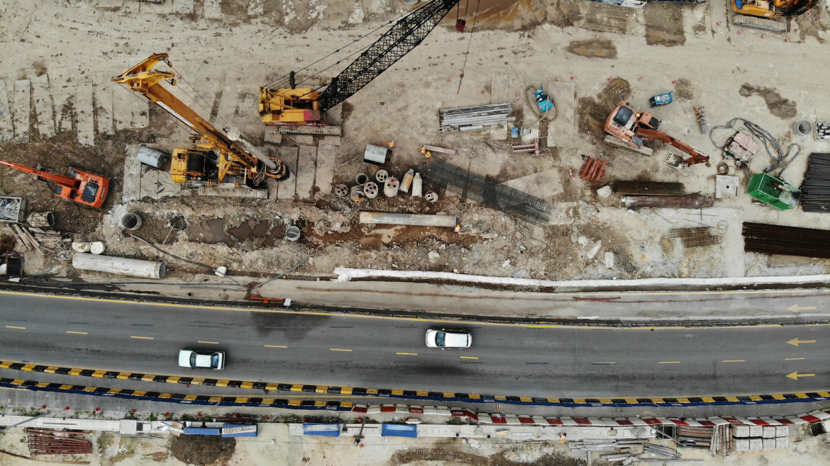
Construction and Surveying
- Through the use of Drones and the appropriate software on construction sites, we are able to
perform surveys, conduct inspections, expedite pre-construction site planning and design accurate
from bid to earthworks with survey-grade maps and models. - Detect and correct plan defects and deviations on-site by comparing actual conditions to pre
construction designs. - Golf Course Surveys and production of Stroke Saver booklets through the aerial data and imagery
- Track and communicate progress at any stage with a Progress Report.
- Verify subcontractor work with automated cut/fill analysis and side by side comparisons.
- Inspect your entire job site safely using aerial & ground imagery.
- Keep projects on schedule with report progress, and efficiently manage logistics.
- Accurate topography and high-resolution maps,
- Survey properties on demand and generate digital terrain models to accelerate the bidding process,
- Improve accuracy of cut fill estimates with accurate topographic data